The Max Creek Vortex for Dummies
After 2 years and 2 different 4 mile hikes we finally found the Max Creek Vortex. It became a personal vendetta after getting lost in the woods, during a thunderstorm, and ending the hike never finding the actual vortex. This year we finally found it. Now that we have….I thought I’d share my version of getting down there because I feel like the info that is online is kind of confusing and convoluted.
DISCLAIMER #1:
I am NOT an avid hiker. I am just a local Southern Illinoisian that had never been to this spot in the woods and wanted to experience it. I would NOT have been able to find this place if my family members hadn’t been long time hikers that knew how to work the Avenza Maps. We also consulted with Hiking with Shawn. He is who I would recommend if you really want to get legit hiking information about this spot. My information is for the hiking dummies out there.
DISCLAIMER #2:
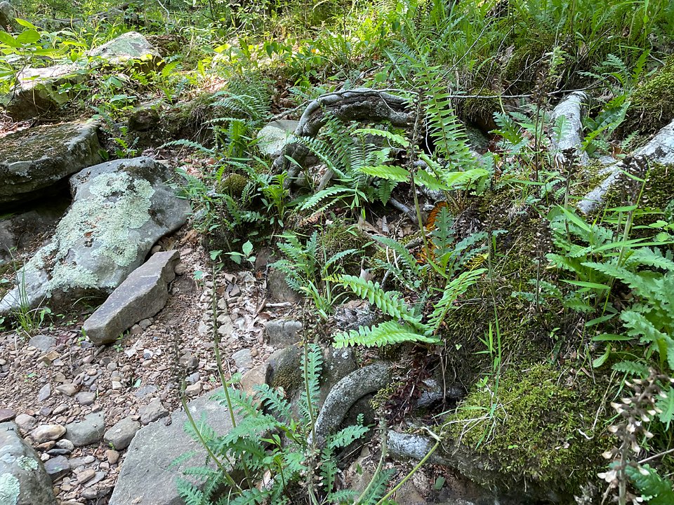
If you are out of shape and like the AC….keep in mind, this trail is not for the faint of heart. The trail is not clearly marked and it is made mostly for horses. So be prepared to be a mountain goat, a lot, and avoid a lot of horse piles. It is very very easy to get off trail. So make sure to download the app. Otherwise you could get seriously lost out there.
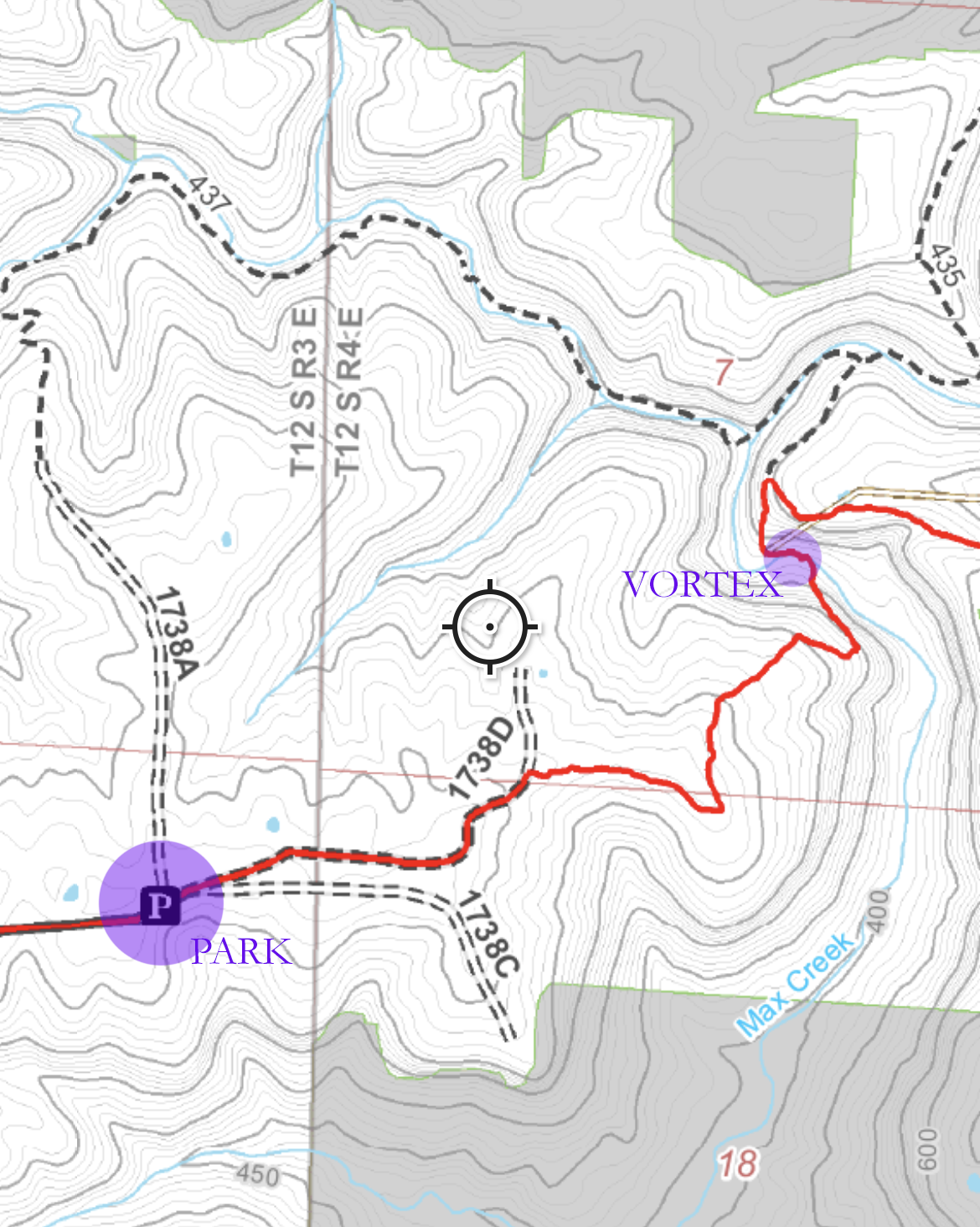
Download the Avenza App, then Download the River to River trail bundle (ALL FREE). The vortex is map #14
Driving directions from Harrisburg:
Head south on Highway 45 from Harrisburg to Vienna. Pass Taylor Methodist Church. Turn left on to Taylor Ridge Lane. You’re going to go all the way to the end of this road. At one point you’ll come to a Y….hang to the left. The parking spot is pretty obvious.

When you’re in the parking lot looking in to the woods (away from the road) there are 2 trail options. You’re going to want to pick the one to the right. Once you’re walking down this trail you’ll come to a sign that says “overlook” (marked 1738C). You can walk out to it if you’d like….but take the path back to the red trail to continue on to the vortex. DO NOT try to keep walking around the bluff from the overlook. Trust me.
It’s best to just ignore the overlook and keep heading down the red trail.
Good luck and Godspeed hikers!!! I repeat….this is not a trail for novices. Do NOT go alone!! PLEASE PLEASE PLEASE download the app and use it. You’ll have cell service in the parking lot….but you lose it pretty quickly on the way in. The app works even when you don’t have cell service. (keep scrolling)
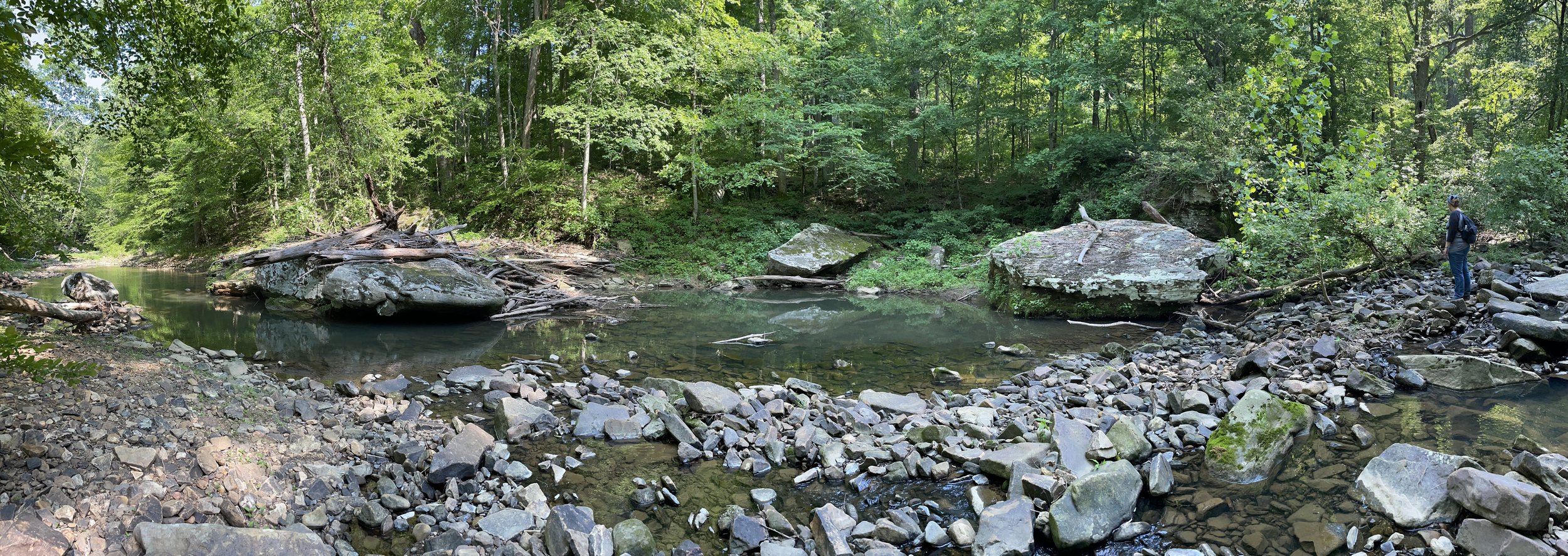
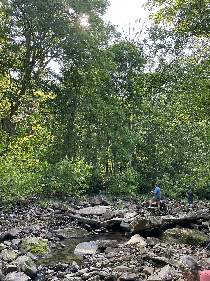
Here’s a video of our hike. We took the northern loop labeled 1738A. 10 out of 10 DO NOT recommend if you’re looking to just get down and back. NOT EASY AT ALL!!!!! Totally beautiful. NOT EASY. Technically it’s 4 miles long. Took us 5 hours!!!! You will cross the creek several times making following the map very confusing. So I would only do this route if you are an experienced hiker.
IN CONCLUSION:
Was it easy? Hell NO!
Would I go back? Maybe….especially since I know the “down and back” trail now.
Did we experience anything weird? Nope!!!
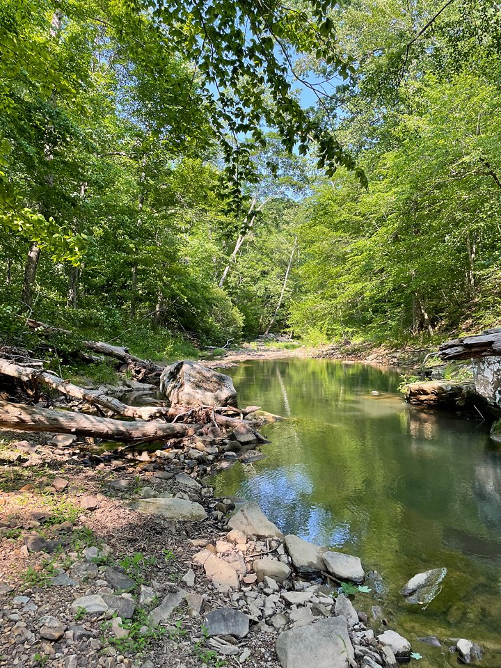
Was it very beautiful and very peaceful? YES!